Vector maps for Earth
| Current weather (20 cities) for PalmOS only Category: Online.weather User-defined points (vector) (Earth) 20 objects described by 7 features Credits: Yahoo Weather online for principal agglomerations of the world. You can create a user-defined map and get current weather and forecasts for cities you choose. | download (7 KB) |
| Current weather (50 cities) for PalmOS only Category: Online.weather User-defined points (vector) (Earth) 50 objects described by 7 features Credits: Yahoo Weather online for principal agglomerations of the world. You can create a user-defined map and get current weather and forecasts for cities you choose. | download (19 KB) |
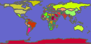
| 1996 country boundaries Category: Boundaries.countries.world Areas (vector) (Earth) 239 objects described by 7 features | download (425 KB) |
| Country boundaries Category: Boundaries.countries.world Areas (vector) (Earth) 3784 objects described by 4 features Credits: This higher resolution map requires more time to render than the Countries2005LowRes map. | download (1623 KB) |
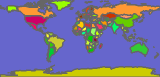
| Low res. country boundaries Category: Boundaries.countries.world Areas (vector) (Earth) 3784 objects described by 4 features | download (714 KB) |
| Time zones Category: Features Areas (vector) (Earth) 38 objects described by 1 feature Credits: Environmental Systems Research Institute, Inc. (ESRI), www.esri.com | download (112 KB) |
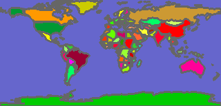
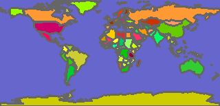
| World facts Category: Boundaries.countries.world Areas (vector) (Earth) 251 objects described by 47 features Credits: The World Factbook | download (1848 KB) |

| World facts (large) Category: Boundaries.countries.world Areas (vector) (Earth) 251 objects described by 110 features Credits: The World Factbook | download (3442 KB) |
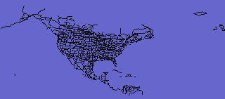
| Roads: Canada, USA, Mexico Category: Transport.roads Lines (vector) (Earth) 3933 objects, no properties | download (1127 KB) |
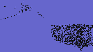
| Roads: USA West Category: Transport.roads Lines (vector) (Earth) 22320 objects described by one property | download (2929 KB) |
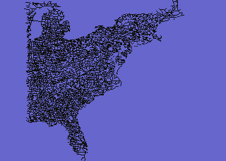
| Roads: USA East Category: Transport.roads Lines (vector) (Earth) 24693 objects described by one property | download (2709 KB) |
| Main Earth features Category: Features Areas (vector) (Earth) 16 objects described by 1 feature | download (4 KB) |

| US national parks Category: Features.parks Areas (vector) (Earth) 995 objects described by 2 features Credits: (c) 1999-2003 by Michael R. Meuser | download (423 KB) |
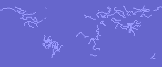
| World rivers Category: Water Lines (vector) (Earth) 90 objects described by 1 feature | download (75 KB) |
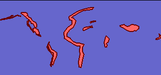
| Major lakes Category: Water Areas (vector) (Earth) 33 objects described by 4 features | download (12 KB) |
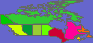
| Canada Category: Boundaries.countries Areas (vector) (Earth) 12 objects described by 7 features | download (148 KB) |
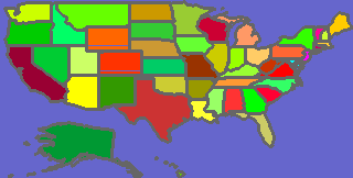
| USA states Category: Boundaries.countries Areas (vector) (Earth) 51 objects described by 51 features | download (122 KB) |

| US airways Category: Transport.air Lines (vector) (Earth) 2126 objects, no database features Credits: Bureau of Transportation Statistics | download (83 KB) |

| US airports Category: Transport.air Points (vector) (Earth) 6734 objects described by 1 feature Credits: Bureau of Transportation Statistics | download (178 KB) |
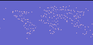
| Cities, rank 1 Category: Cities Points (vector) (Earth) 10000 objects described by 4 features Credits: geonames.org. Populations range from 37 thousand to 14 million. | download (336 KB) |
| Cities, rank 2 Category: Cities Points (vector) (Earth) 10000 objects described by 4 features Credits: geonames.org. Populations range from 16 thousand to 37 thousand. | download (342 KB) |
| Cities, rank 3 Category: Cities Points (vector) (Earth) 10000 objects described by 4 features Credits: geonames.org. Populations range from 9 thousand to 16 thousand. | download (346 KB) |
| Cities, rank 4 Category: Cities Points (vector) (Earth) 10000 objects described by 4 features Credits: geonames.org. Populations range from 5 thousand to 9 thousand. | download (348 KB) |
| Cities, rank 5 Category: Cities Points (vector) (Earth) 1860 objects described by 4 features Credits: geonames.org. Populations range from 1004 to 5 thousand. | download (65 KB) |
Raster maps for Earth
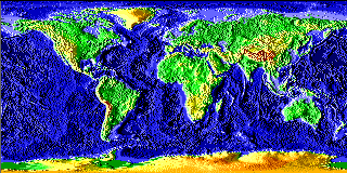
| Global Elevation (Earth) 58M samples (0.2697 per km) Credits: U.S. Department of Commerce, National Oceanic and Atmospheric Administration, National Geophysical Data Center | download zip |
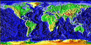
| Global low resolution Elevation (Earth) 6480k samples (0.08991 per km) Credits: U.S. Department of Commerce, National Oceanic and Atmospheric Administration, National Geophysical Data Center | download zip |
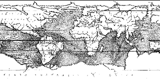
| Historical, 1678 Image (Earth) 2134k samples (0.0516 per km) Credits: Author: Kircher (1678), 'Tabula graphico-hydrographica motus oceani, currentes, abyssos, montes ignivomos'. Source: Hargrett Rare Book and Manuscript Library, University of Georgia. | download zip |
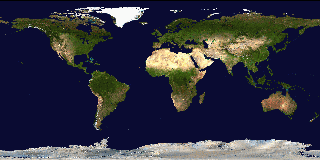
| Land Surface, Shallow Water, and Shaded Topography Image (Earth) 33M samples (0.2046 per km) Credits: NASA Goddard Space Flight Center Image by Reto Stoeckli | download zip |
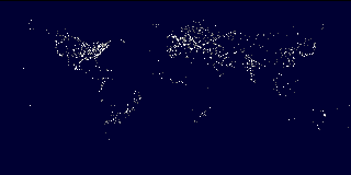
| World lights Image (Earth) 9331k samples (0.1079 per km) Credits: Data: Marc Imhoff NASA GSFC and Christopher Elvidge NOAA NGDC. Image: Craig Mayhew and Robert Simmon, NASA GSFC, 2000. | download zip |
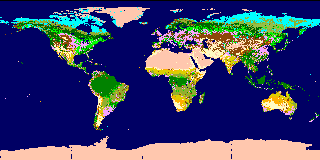
| AVHRR Land Cover Classification Symbolic (Earth) 16M samples (0.1439 per km) Credits: University of Maryland; Hansen, DeFries, Townshend, and Sohlberg | download zip |