High resolution elevation maps for Earth (land)
This page contains high resolution elevation maps for Earth. Land elevations are most important in this set of maps, and underwater elevations are less accurate. Click on images to download map files (zip-compressed). Then decompress them and copy to a card, to the \Program Files\PrettyMap\maps\ directory.
Note that after decompressing, these map files may be very large (e.g. 200−300 MB).
PrettyEarth will not be able to open these maps − use PrettyMap.
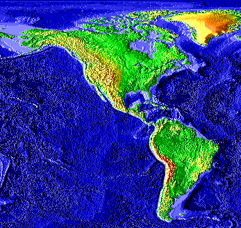 Americas Americas62 MB | 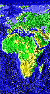 Europe, Africa Europe, Africa41 MB | 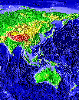 Asia, Australia Asia, Australia54 MB |