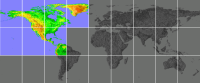
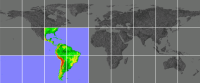
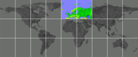
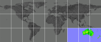
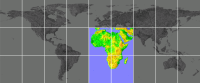
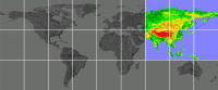
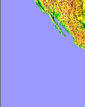
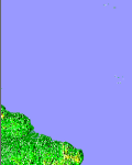
High resolution elevation maps for Earth – tiles, land only
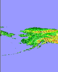
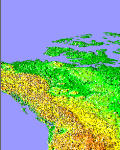
This page contains high resolution elevation maps for Earth, divided into smaller pieces so that you can download areas of your interest only. These maps are based on the GTOPO30 data set (see here for details and credits). Each tile covers the projected area of 40°x50°, and contains almost 29 million of samples (one sample per square kilometer).
Click on images to download map files (zip-compressed). Then decompress them and copy to a card,
to the \Program Files\PrettyMap\maps\ directory.
PrettyEarth will not be able to open these maps − use PrettyMap.
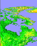
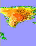
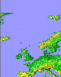
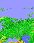
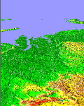
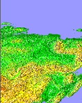
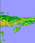
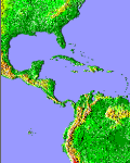
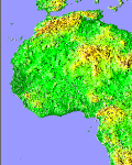
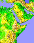
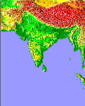
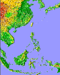


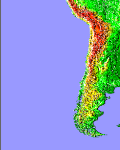
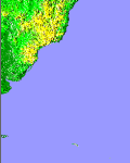
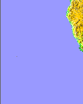
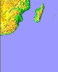

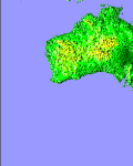
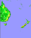
Note: instead of downloading individual tiles, you can download packs for each continent. Click on images below to download packs of tiles.