PrettyMap screenshots (Palm OS)
Click on the thumbnails to enlarge, click "Back" to return to this page.
Support for vector maps
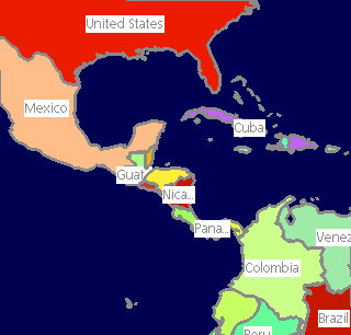
Areas
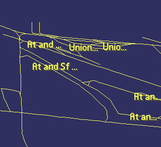
Lines
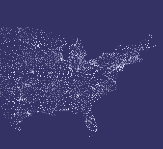
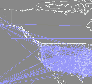
Points
Multiple layers
Multiple layers
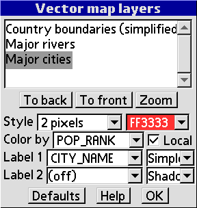
Layer settings
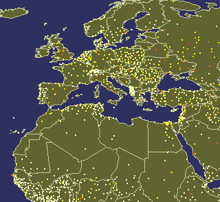
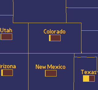
Color by property (e.g. city population rank)
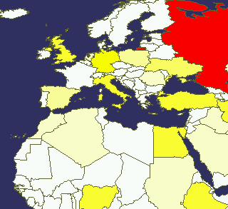
Color by property (e.g. country population)
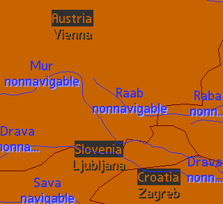
Double labels
Bar charts
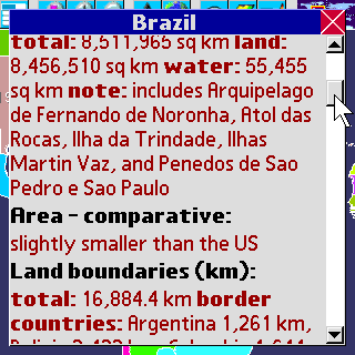
World facts (1)
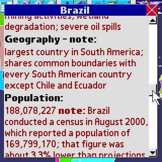
World facts (2)
Support for raster maps
Digital elevation models
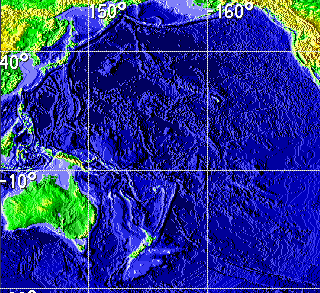
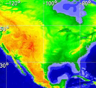
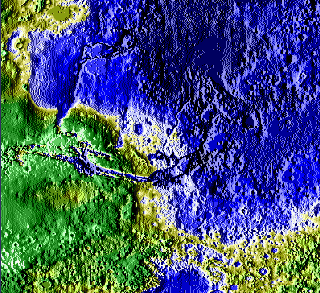
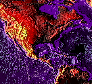
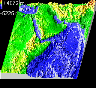
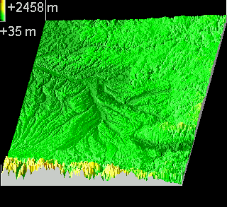
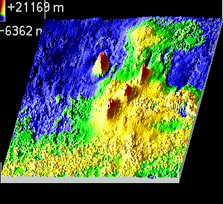
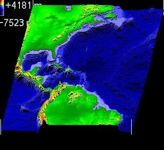
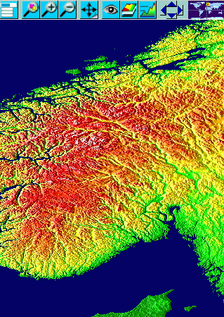
Elevation relief
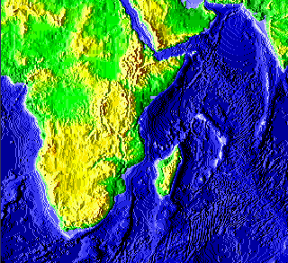
Elevation relief
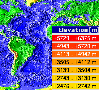
Elevation legend
Elevation alternative colors
Elevation user-defined colors
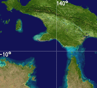
Images

Symbolic raster data
Spherical projection and 3D elevation view
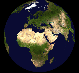
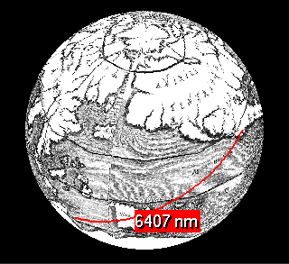
Spherical image
Spherical image

Spherical elevation relief
3D Solid
3D Solid
3D Solid, adjustable water level
3D Solid, other planets
3D Lines
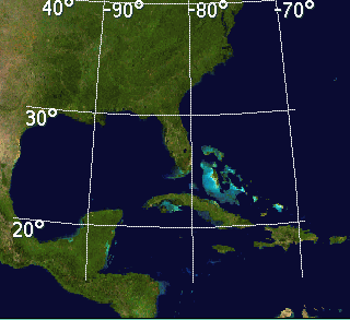
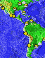
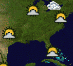
Online weather maps, reports and forecasts
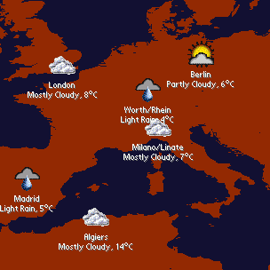
Weather map

Location details
Weather and elevation
Weather and photo
Raster maps with vector overlay

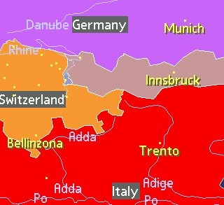
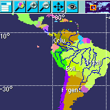
Partial area maps
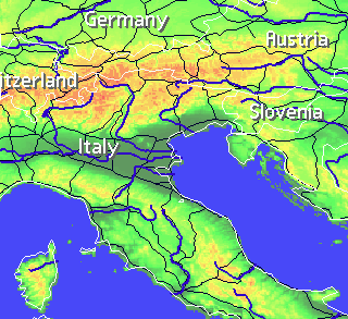
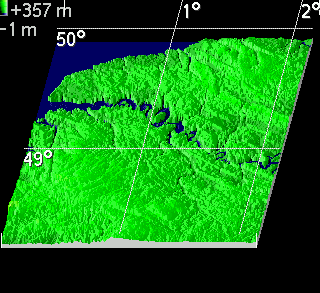
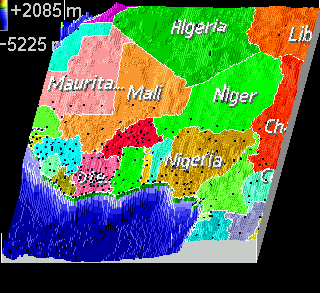
Elevation, boundaries, rivers and roads
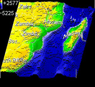
Elevation relief and countries
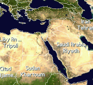
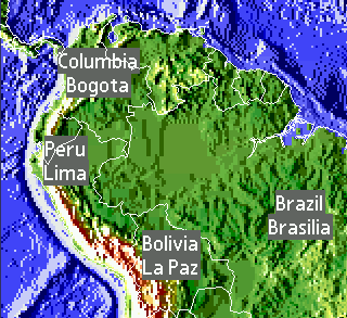
Image and countries
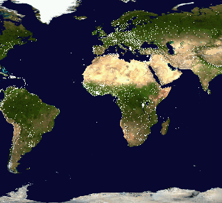
Image and cities
3D elevation, countries and cities
3D elevation and countries
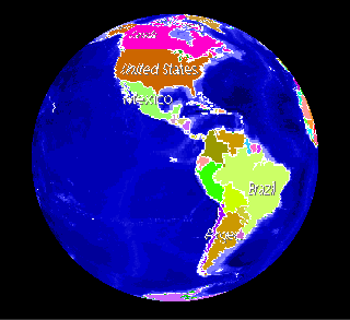
Sphere and countries
Day and night display
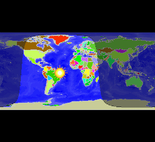
Day and night regions
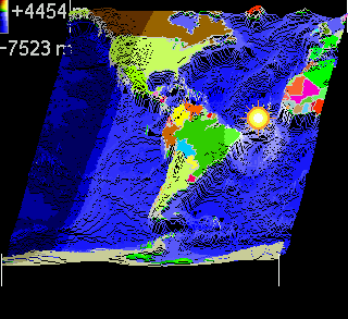
3D day and night
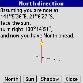
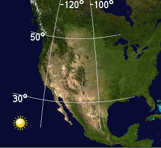
Sun vs. north position
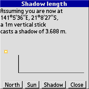
Shadow length

Spherical day and night
Spherical day and night
User maps editor
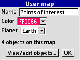
User map settings
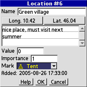
Location edit
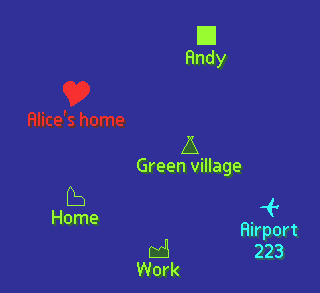
Multiple user-defined layers
Support for other planets

Moon elevation relief

Lunar landing sites
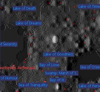
Lunar craters, mountains, seas, lakes, valleys and much more
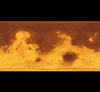
Mars elevation
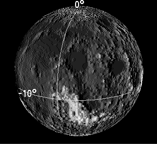
Spherical moon elevation relief
Other features
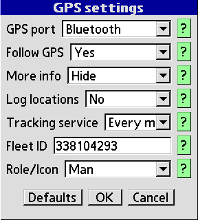
GPS logging,
GPS tracking
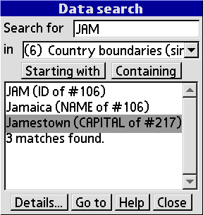
Search for data
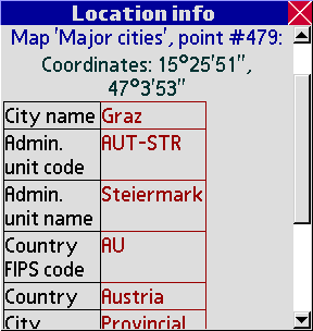
Information about object properties
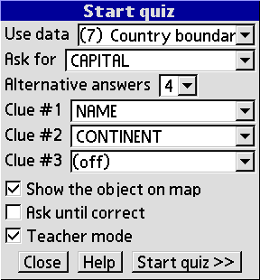
Educational quiz

Measure distance
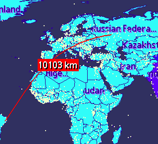
Measure distance
Measure distance
Works in various screen resolutions
320x320, 320x480, 480x320
160x160, 240x240 and others