Vector maps of arbitrary areas: free conversion utility
With the shapefile-to-pmap converter, you can have vector maps of areas you are interested in converted for PrettyMap. ESRI provides shapefile maps for most areas of the world (however, their on-line service is no longer available). Another source of detailed USA vector data is the TIGER2000 dataset used in the tracking service, see also the Geography Network resources.
Want to see sample results of conversion? Check this out for areas in USA, Canada and Europe.
You can also edit vector maps on your own: free GIS applications like openjump, udig and qgis allow one to prepare, edit or convert vector maps. Save your maps as a shapefile, then use our converter application below and copy converted maps to your mobile device.
|
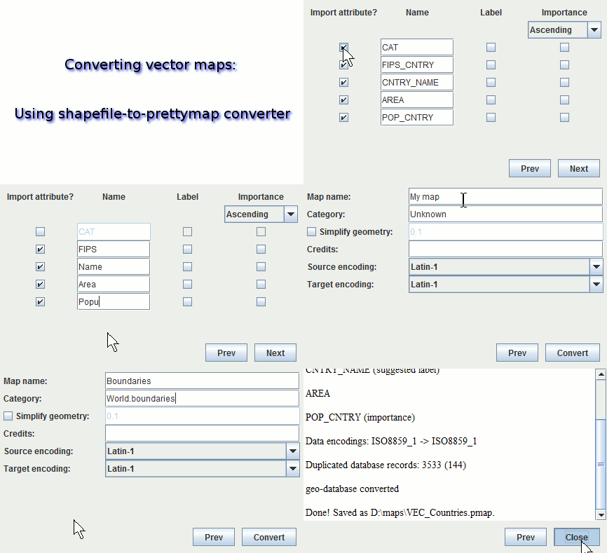
See the animation for a short illustration of the conversion application.
|
|
If you don't have java installed, get it here.
If you have problems using the converter, ask questions and get support on our forum.
The converter does not need Internet access: run it once and then you can use it offline.
Alternatively, you may submit your shapefiles via a web form to have us assist you with the conversion.
